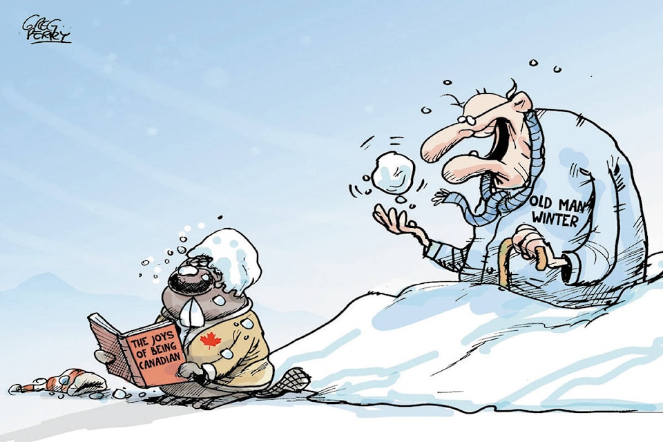
A low pressure system brought in cold temperatures and snow with it to the East Kootenay, with the majority of snowfall in Cranbrook falling Monday, April 2 and accumulating around three centimetres, according to Environment Canada meteorologist Alyssa Charbonneau.
The low pressure system is expected to pull off to the south east and move out of the region, and so for the remainder of the week a few lingering flurries are expected, but the vast majority of the snowfall ending midway through Monday.
“We are remaining in a cold pattern, there’s going to be some weak disturbances coming through and with clouds and temperatures being well below seasonal average,” Charbonneau said.
Wednesday, April 4 is looking to be a little dryer, but as of Thursday and moving into the weekend, the next strong system, this one coming from the Pacific Ocean, will push across the province. This one, however, should also bring with it some warm air.
“Initially on Thursday you’re going to see temperatures still quite cool and mostly a chance of flurries but as you get into Friday and Saturday we are expecting a little bit of that warm air, hopefully to push in and get that cool air out of there.”
Temperatures should warm up slightly and snowfall should be replaced by rain showers next week.
Charbonneau suggests exercising caution to anyone intending on travelling, saying that the highways, especially the higher passes, are “still very much in winter.” Take extra precautions and check the road conditions before departing.
