Paul Rodgers
Environment Canada is forecasting a low-pressure system that will move into interior BC on Saturday, bringing with it substantial snowfall and colder temperatures to Cranbrook and the surrounding area.
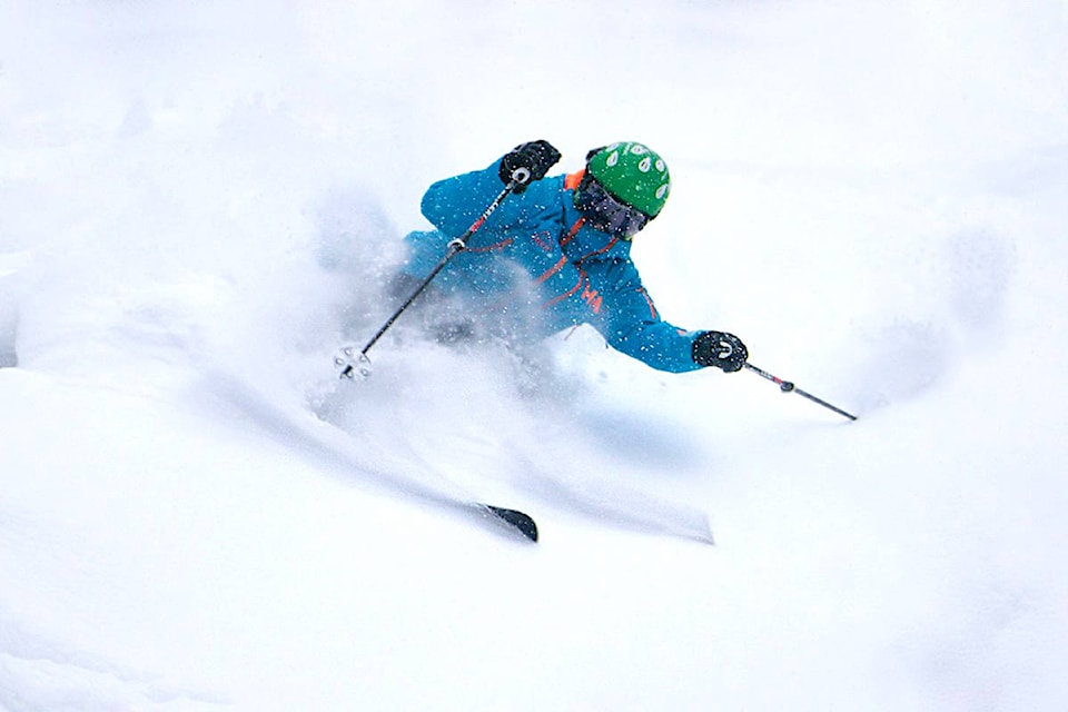
Lisa West, operational meteorologist with Environment and Climate Change Canada, said in an interview on Thursday, February 15 that this “weather maker” event will keep the ski hills up and down the Rocky Mountain trench “well reserved in fresh snow,” especially in Kimberley and out towards Fernie.
“And that system, there’s sort of a compounded effect, there is the low-pressure system that’s moving across and then there’s the Arctic front coming down and those two features together will generate a decent amount of snowfall right through Monday morning,” West said.
Friday, February 16 may see some light flurries, but the roads throughout the region should be fairly clear. Cranbrook is expected to get anywhere from 10 to 20 centimetres of snow, and the ski hills in the area like Kimberley and Fernie can expect even more.
The majority of the anticipated snow should fall on Saturday and Sunday, with the worst of it subsiding by Monday morning. Because this is Alberta’s Family Day weekend, there likely will be lots of drivers on the roads and so the snow falling on Saturday and Sunday, rather than the common travel days of Friday and Monday, works out well.
“Folks should expect periods of snow on the roads, but the mountains are looking fairly light, only a few centimetres, maybe two to five for Friday,” West said. “So that’s for the folks who are basically coming from Alberta into BC to perhaps take advantage of the snow, so not a clear day on Friday but not too bad.”
“The worst of the snowfall should be done as we get into Monday morning as it stands right now so for folks travelling home Monday afternoon it does look fairly good,” she added.
The Arctic front that is descending will bring with it plummeting temperatures starting on Sunday. In Cranbrook for Friday and Saturday we can expect around -3 but come Sunday, highs will drop to -9 or -10, with lows getting down to the negative teens.
West said that the Cranbrook area will remain in the Arctic air through a good portion of next week, and that we perhaps won’t get a decent warmup towards normal temperatures until next weekend.
“We are in a La Nińa pattern right now which generally means cooler than normal temperatures for the province of BC and for Southern BC also more precipitation.”
Throughout the winter, climate models have been predicting to stay in the La Niña phase until March or May, and the latest update done on February 8 confirmed that. So we can expect cooler than normal and wetter than normal temperatures continuing right through until Spring.
If you have visitors coming up from other provinces for their long weekend, make sure they know to always keep emergency supplies and warm clothes and blankets in their car, and that they let someone know before they are leaving.