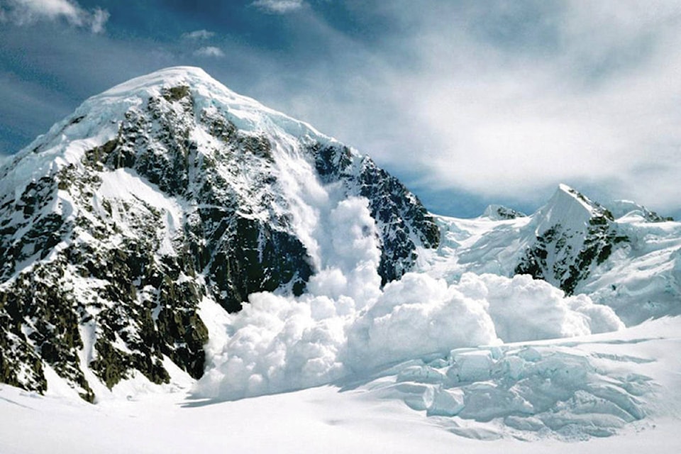
Though spring has certainly sprung here in the East Kootenay, a wintery realm still exists high up in the alpine, and to those who seek to explore such places, Avalanche Canada urges caution.
“We just want to make sure that folks aren’t making the assumption that based on the time of year the avalanche problems that exist up high in the alpine, where there is still dry snow from the most recent storm, that they’re not making the assumption it’s a spring avalanche problem, because it’s more of a winter wind slab problem at the moment,” explained Josh Smith, a public avalanche forecaster for Avalanche Canada.
Snow has fallen recently, though accumulation levels have varied throughout the province. The central Rockies likely received the most snow, in the range of 40 to 60 centimetres in the high alpine. The Columbias moving westward, received around 20 to 40, and here in the purples we received substantially less. The amount of snow that falls this time of year tapers rapidly with elevation.
Smith explained that this time of year, typically we don’t get new dry snow and the normal avalanche problems in spring are more due to loose wet snow or wet slab avalanches. In these conditions, he explained, the general rule of thumb is that if you start your day early and there’s been a good freeze overnight, you can get out of the avalanche terrain before temperatures rise and your risk is quite low, following that strategy.
However, when there is fresh, dry snow at upper elevations as there is lately, the time of day that you travel across the slope doesn’t effect the likelihood of the slope avalanching.
“So, you can easily have an avalanche on a slope that has dry snow in the morning,” Smith said. “It might be a higher likelihood in the afternoon if there’s additionally warming to that snow, but that sort of general strategy of just starting know and thinking you’re pretty good to go by doing that isn’t working in the alpine areas at the moment.”
To those who think that winter is over and nobody is still scavenging its remnants, Smith says, “You’d be surprised how many people are still pretty keen on getting out.”
Smith says that the advice Avalanche Canada has for springtime alpine enthusiasts is much the same as for winter conditions: firstly, everyone in the party should have appropriate safety gear. That is, at a minimum, an avalanche transceiver, a probe and a shovel. Every should also know to properly use that equipment.
He also states that everyone should have a minimum of a level-one avalanche skills training course. Beyond that, those venturing out should have a look at the avalanche bulletin before departing into the high mountain areas, and to keep in mind that the hazard ratings are just a starting point, and people need to be using their own training and skills to assess the slopes they wish to travel on.
As of Friday, Avalanche Canada’s daily bulletins will subside, and they will no longer issue them every day.
“The messaging will change a bit and we’ll be still providing our readers with some different scenarios and some different advice on how to manage avalanche hazard in the springtime, but our normal daily bulletins will be ending this weekend.”
He said this usually happens earlier in the spring, but due to the more “winter-like spring” we are experiencing, they have kept the daily updates going later into the season.
Finally, Smith said that the Fernie area is expected to get a fair bit of snow over the weekend, accompanied by very low freezing levels. Snow likely won’t reach valley bottoms, but it will get close.
“The Fernie area could certainly see elevated avalanche hazard this weekend whereas the way the weather’s looking in the Purcells right now, the hazard is more on a decline looking toward the weekend,” Smith said.