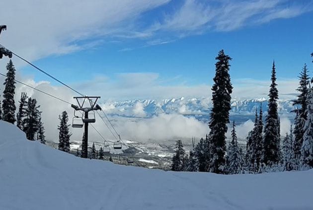
The BC River Forecast Centre has come out with their first snow bulletin of 2017, and after snowpacks being historically low in the spring in 2016, they are almost back to normal, at least in the East Kootenay. The East Kootenay snowpack is at 87 per cent of normal as of January 1. Snowpacks in the north remain low, at about 40 per cent of normal, while the Lower Mainland coastal areas are reporting 100 per cent or more.
Two key weather factors have been driving the seasonal snowpack development this year, the report says.
First is the extremely warm November period across the province. This led to a delay in the early season accumulation of snow, and in some areas led to melting of the early season snow that had fallen in October. During November, river runoff from melting snow and moderate to heavy rainfall, led to extremely high seasonal flows for most river systems in the BC Interior. The second key weather driver has been the dominance of Arctic air across the province through December. This has led to dry conditions, particularly across northern BC, and cold conditions across the province. Colder than normal temperatures in south-west BC has led to much greater snow accumulations at low elevation, while the impact on higher elevation snowpack has been modest. Snow at low elevation has been much higher than normal through December, with many areas receiving twice as much snow as normal, or more.
“Weak La Niña conditions in the equatorial Pacific Ocean appear to have peaked. The Climate Prediction Centre (CPC) at the U.S. National Weather Service/NOAA is forecasting La Niña conditions to weaken through the remainder of the winter. Typically, La Niña is linked to cooler and wetter winters across British Columbia. Snowpacks tend to be higher than normal; however, there has been a large range of variability in snowpack during La Niña winters in the past. Given the weak nature of the current La Niña cycle, there is greater uncertainty regarding how it will influence this year’s conditions. Seasonal forecasts from Environment and Climate Change Canada are indicating an increased likelihood of below-normal temperatures across northern and western British Columbia over the January to March period. Short-to-medium term forecasts are suggesting colder temperatures through the middle of January, and an increased likelihood of warmer conditions into the second half of the month.
By early January, nearly half of the annual BC snowpack has typically accumulated.