The latest snow survey data was released by the River Forecast Centre on June 7.
Hot temperatures in the second half of May led to rapid snowmelt and many of the measured basins lost a great deal of snow in that time.
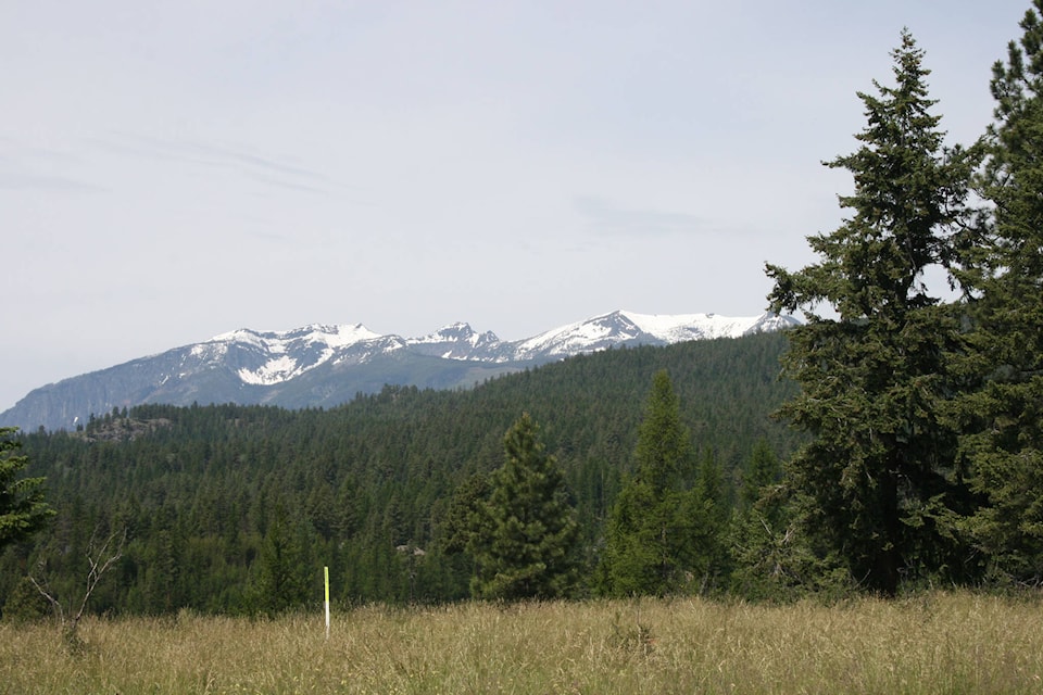
The East Kootenay snow basin is at 105 per cent of normal as of June 1. That’s down to almost normal from 154 per cent of normal in mid-May.
There are still areas where the snow basin indices remain very high. Boundary is at 178 per cent of normal snow levels, and the Okanagan at 228 per cent. These two areas actually increased during the last half of may.
According to the report, “On-going wet weather, high snow packs, extreme hot temperatures and rapid snow melt have all contributed to very high freshet flows this season, particularly in southern BC. Many areas are still experiencing above normal flows for early-June. Inflows into lake systems has been both early, and higher than normal volume, leading to lake levels, particularly in southern BC, seeing extremely high levels for early-June. For example, inflows into Okanagan Lake in May were 240% of normal, and similarly over the March to end of May period inflow were 226% of normal. Preliminary analysis suggests that these inflows are 10% higher than the previously recorded maximum inflows over these periods observed in the past 96 years.
On smaller rivers and tributaries flowing from mid-elevation areas (primarily below 1600m), flows have been slowly declining over the past week back to normal levels for early-June. In northern BC, the influence of lower seasonal snow packs is becoming evident, as many smaller river systems have transitioned to below-normal flows. In the larger rivers of the province, and in areas with high elevation snow packs, rivers are at bankfull condition and at or near their peak from snow melt driven runoff. This includes the South Thompson River, North Thompson River, Thompson River, and Fraser River where current flows are between the 2-year and 10-year return period level.
Outlook In smaller rivers and tributaries draining mid-elevation watersheds, flood risk from snow melt has peaked, and rivers have returned to more seasonal flows. This includes areas through the Central Interior and South Interior, including the Nicola River, Coldwater River, Salmon River, tributary rivers in the Okanagan, Mission Creek, and Kettle River. High June 1st snow basin indices in the Okanagan and Kettle better reflect the high flows and flood conditions that have already occurred rather than being an indication of future risk. Inflows into Okanagan Lake appear to be declining and the risks for future rises in inflow rates and lake levels will be mainly driven by rainfall.
Larger rivers and rivers draining higher elevation terrain are at or near their peak from snowmelt-driven runoff. As a result, rivers are still very sensitive to additional runoff, particularly from rainfall. This includes Shuswap Lake and tributaries, South Thompson River, North Thompson River, Thompson River, Fraser River, and tributaries in the Kootenay and Columbia. Current rain forecast over the next week may lead to higher flows in these rivers than has been experienced so far this year.
June is typically the wettest month of the year for most of the BC Interior, with risks of extreme rainfall. Flood risks across the province from rain-driven runoff are expected to be on-going through June. Current advisories, warnings, freshet information, hydrometric monitoring, river modelling and snow data are available on the River Forecast Centre website.