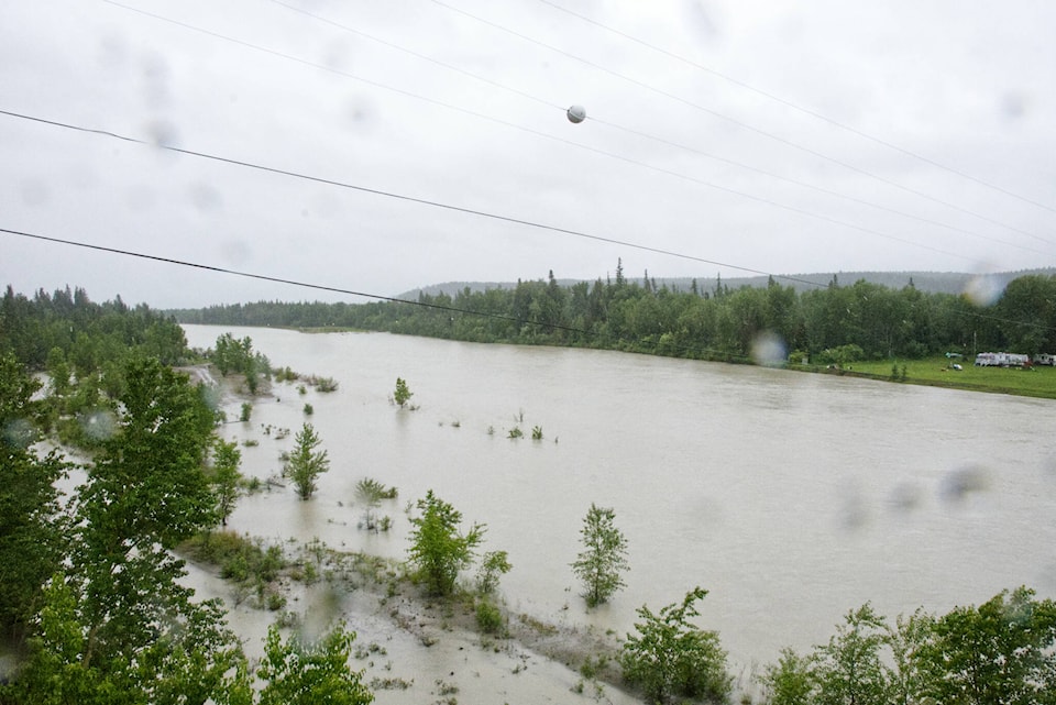
A flood watch in the Kootenays and Upper Columbia has been downgraded to a high streamflow advisory as a storm front bringing significant amounts of rainfall has passed through the region.
“Rivers are experiencing lower levels than forecasted yesterday,” according to a bulletin from the River Forecast Centre. “In some areas, flows remain high but are not anticipated to reach flood stage as the runoff from this recent storm continues to pass over the coming day.
“Additional rainfall is in the longer-range forecast, and advisories may need to be upgraded at a later time.”
Environment Canada is forecasting more rain in the Kootenays this weekend and into early next week.
A flood warning has ended in the Elk Valley region, but an evacuation alert issued by the District of Sparwood on June 13 for a few properties remains in place.
On the weekend, the River Forecast Centre put much of the Kootenays and Upper Columbia on flood watch, in anticipation of forecasted rainfall.