During a season where many back roads have been closed because of flood damage, one popular route is open and in surprisingly good condition: Gray Creek Pass.
The popular route links the East and West Kootenay from Kimberley to Crawford Bay, 90 kilometres of gravel road over the scenic Gray Creek Pass.
Tom Lymbery, the owner of Gray Creek Store and coordinator of the Kootenay Lake Chamber of Commerce, says on busy weekends 200 vehicles will come over the pass.
"We rate this as a tourism resource road because it's so interesting," Lymbery said.
The history of the route goes back to the 1950s, Lymbery explained, when Cominco built a power line over Gray Creek Pass.
Cominco employees who had relocated from Kimberley to Riondel were keen to have a shorter route back to the East Kootenay, and at the time two roads were considered – one over Gray Creek Pass, and one over Rose Pass to the north.
It wasn't until the late '80s when the push for the backcountry route finally gathered momentum. Rose Pass would have required a three-mile tunnel, Lymbery said, so that idea was abandoned.
Gray Creek Pass was finally completed in the 1990s, and officially opened in July 1990.
Oliver Lake Recreation Site was established at the summit of the pass at 6,800 feet.
"This was designed for semi trailers and logging trucks," Lymbery said. "In the early years, it was the recommended route for German tourists driving their rental motor homes."
But for the first time last spring, slides damaged the road and kept it closed, much to the disappointment of backcountry enthusiasts, the chambers of commerce, and even Cranbrook city council, which spoke out in favour of the pass in September.
Finally, on October 8, the road was fixed, and the pass's short season began. Snow usually makes the high-altitude route impassable by the end of October.
But this summer, Mother Nature was shining on the pass, and it opened at the beginning of July.
The Rocky Mountain Forest District still urges 4WD vehicles only to travel the route, which is narrow and rough in parts. Vehicles towing trailers or motorhomes, and wide vehicles shouldn't attempt it.
Still, it's open, which is good news for backcountry enthusiasts.
"It's not a cliffhanger or anything like that. It's a good solid road. A lot of it is built to main haul road status," said Lymbery.
"We have quite a few people who go up and picnic at Oliver Lake.
"It's still somewhat spring time up there. There are some flowers up there."
What's more, the route is unofficially part of the Trans Canada Trail.
"The official Trans Canada Trail is from Cranbrook to Kimberley (on North Star Rails to Trails). The unofficial part is from Kimberley to Gray Creek," Lymbery explained. "We are working on that."
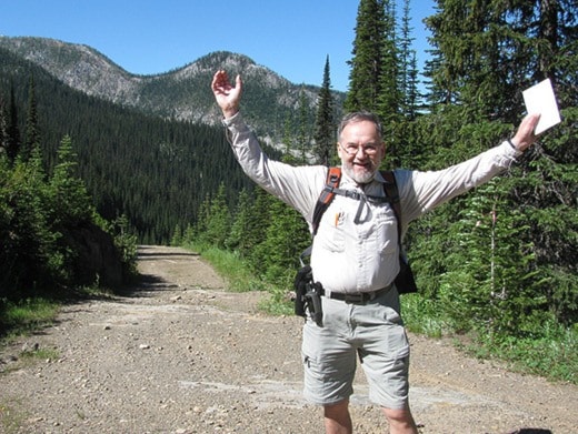
A handful of people have made the trek over the pass on foot or on bicycles so far this season.
There's a push to improve signage over the route, as many people have reported difficulty ensuring they are on the right path when other forestry roads connect with the pass.
At the Gray Creek Store, which is on Highway 3A where the pass connects back to the pavement, Lymbery has set up a guest book where those walking or cycling the pass can register.
"It doesn't matter which way somebody is going, whether it's cycling or hiking, we would like to get a record of how many people are using it and help it become officially part of the Trans Canada trail," he said.
The Gray Creek Pass will be closed from July 29 to 31 at 6.5 kilometres from the Crawford Bay side.