The B.C. government has unveiled a new app that they say will help crews predict and fight wildfires in B.C.
Forests Minister Bruce Ralston announced its introduction Monday (March 18), noting that the addition of the new technology will help firefighters make critical decisions faster when it matters the most.
“As the impacts of climate change evolve, so too must our ability to manage the threat of wildfires in our communities,” Ralston said. “During a wildfire, every second counts as wildfire professionals deploy aircraft and firefighters to tackle blazes.”
While firefighters already use weather models, as well as topography and fuel maps, to model fire behaviour, this new technology will also allow crews to use existing geospatial data and on-the-ground data.
The software will first be used in the Coastal and Kamloops Regional Fire Centre, which earlier trialed the software. B.C.’s four remaining regional fire centres will phase in the technology over the course of 2024, following trials and additional refinement.
Other jurisdictions including California have used comparable technology and was included in the review of previous wildfire seasons in the province, which was commissioned by Premier David Eby.
“The availability of a common operating picture when facing rapidly evolving emergencies can be the difference between life and death,” said Thom Porter, task force member and former director of the California Department of Forestry and Fire Protection.
Porter added that he has witnessed the power of the technology first-hand.
RELATED: Wildfire near Lumby grows to 3 hectares before being held
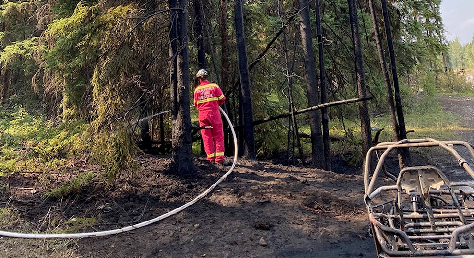
Greg Boyachuk, senior wildfire officer of operations for the Coastal Fire Centre, was part of the team that tested the app last year. He says it was able to allow the fire centre to prioritize their resources after major lightning strikes that sparked over 110 new wildfires in four days.
“The software was able to produce a predicted 12-hour fire spread for each new incident in less than 15 minutes, compared to a previous manual process which could take up to several hours for each incident.”
BC Wildfire Service is also trialing other new technologies: using drones for aerial ignitions, infrared scanning for hazard assessments and 5G technology to monitor forest conditions.
The timing of Monday’s announcement is not without poignancy. It comes just hours after crews responded to a three-hectare blaze near Lumby over a unseasonably warm weekend in the province, which saw a number of records broken.
With a shrunken snow pack and an anticipated hot summer, many B.C. experts are preparing for a challenging wildfire season.