Environment Canada has issued a Special Weather Statement for the Elk Valley, in anticipation of significant snowfall on Thursday, particularly around Fernie.
A low-pressure system, combined with a cold from coming in from the Prairies will create heavy snowfall expected to start on Thursday morning, intensifying over the day and generating up to 15 centimetres throughout the day in the Elk Valley.
Snowfall is forecasted to persist into the weekend.
In Cranbrook, mixed precipitation will start on Thursday with around five millimetres of rain forecasted, that is predicted to turn into light snowfall Friday and heavier snowfall by Saturday, accumulating to around 10 centimetres.
Yahk can also expect to see light rain starting Thursday that turns to light snowfall on Friday and intensify by Sunday, again accumulating to around 10 centimetres. It is expected to taper off by Sunday, with accumulations of less than one centimetre forecasted.
Rain is also forecasted for the Columbia Valley, starting with five millimetres of rain on Thursday that will turn to mixed precipitation on Friday. Light snowfall will start Saturday, tapering off snowfall with a total accumulation of around one centimetre.
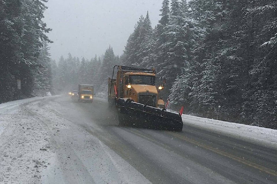
Mainroad East Kootenay are currently treating the service area’s roads with liquid de-icing material on a priority sequence.
Motorists are encouraged to use caution, drive to conditions and prepare for weather-related delays. You can check drivebc.ca for road conditions before leaving home.