With temperatures reaching as high as 9C in Kimberley and up to 10C in Cranbrook on Tuesday, Mar. 3, the East Kootenay is sitting at about two to three degrees above the seasonal average high of around 7C.
These highs can be attributed to strong winds that have been blowing throughout the East Kootenay, potentially circulating warm air from further south.
According to Environment Canada meteorologist Jonathan Bau, a cold front moving in from around the Gulf of Alaska will swing through the province starting Friday, bringing with it precipitation and colder temperatures more in line with this time of year.
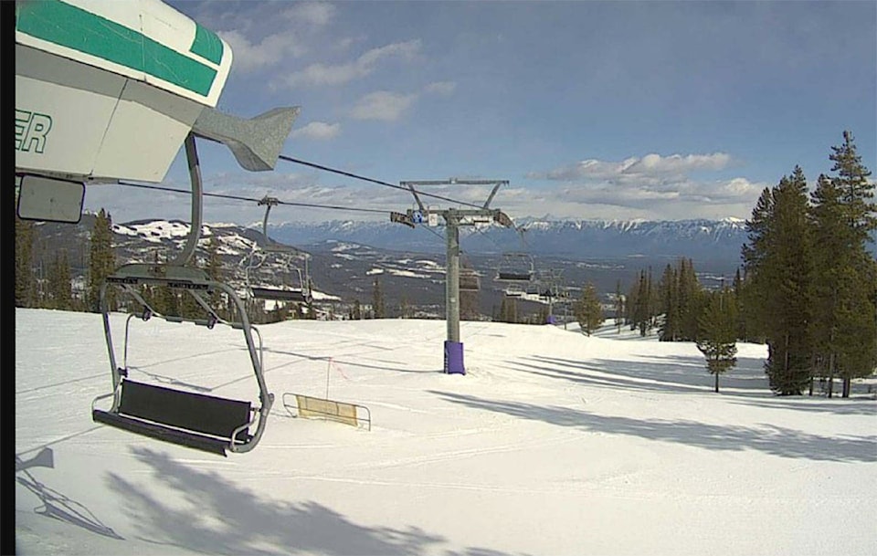
Precipitation should begin falling Friday in the form of rain, but as the temperature drops over night, this will likely turn into large-flake snowfall — a good news for all alpine sport enthusiasts of Kimberley.
Once that cold, upper-level trough comes along it should settle in for a couple of days, resulting in temperatures hovering around 0C or just below it for Sunday and Monday.
A drying trend with sunny skies is expected after that for early next week, with temperatures moving to around the single digit above zero range, and overnight lows of around -7C.
So while this warm spell and the amount of melting seen around town is “a little unusual,” according to Bau from Environment Canada, this transition day on Friday will bring us back to more wintery conditions — for better or worse depending on your disposition towards the seasons.